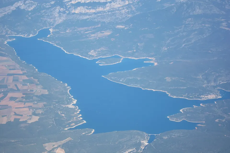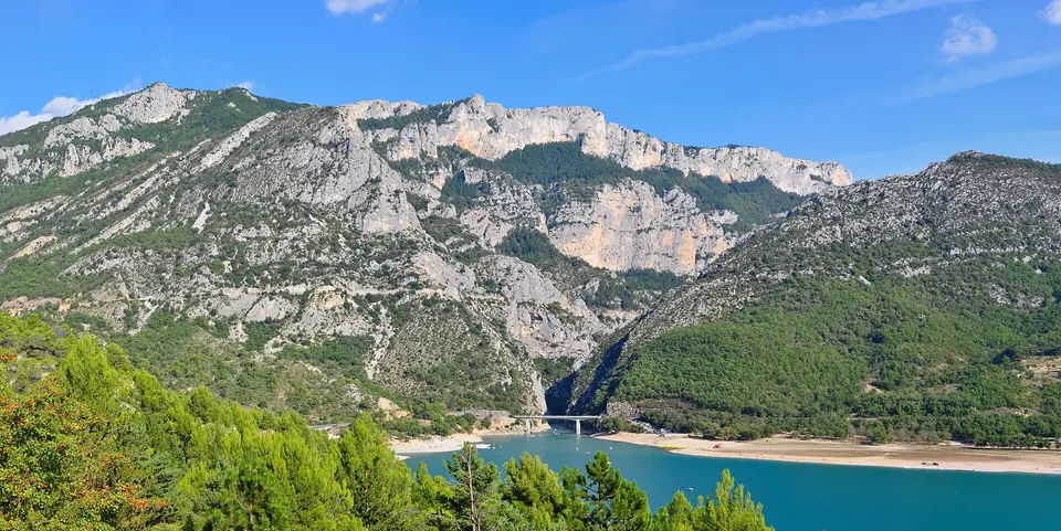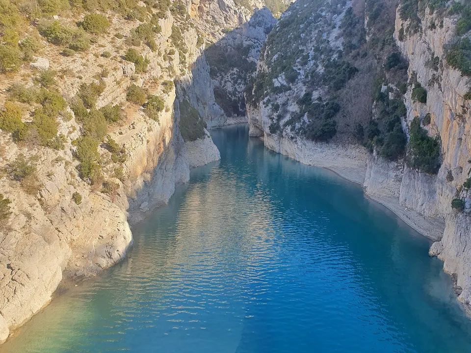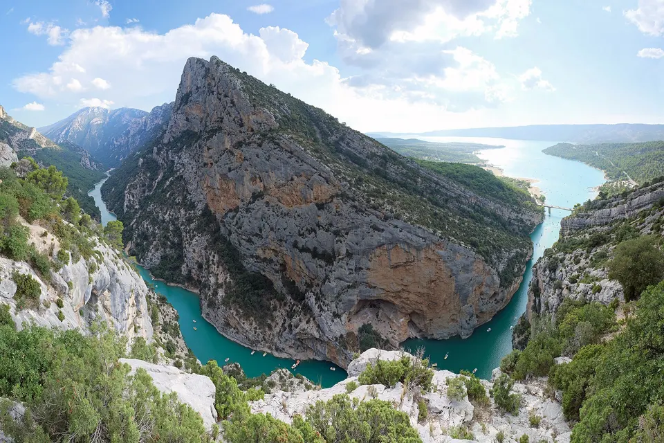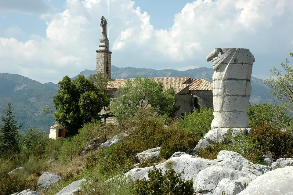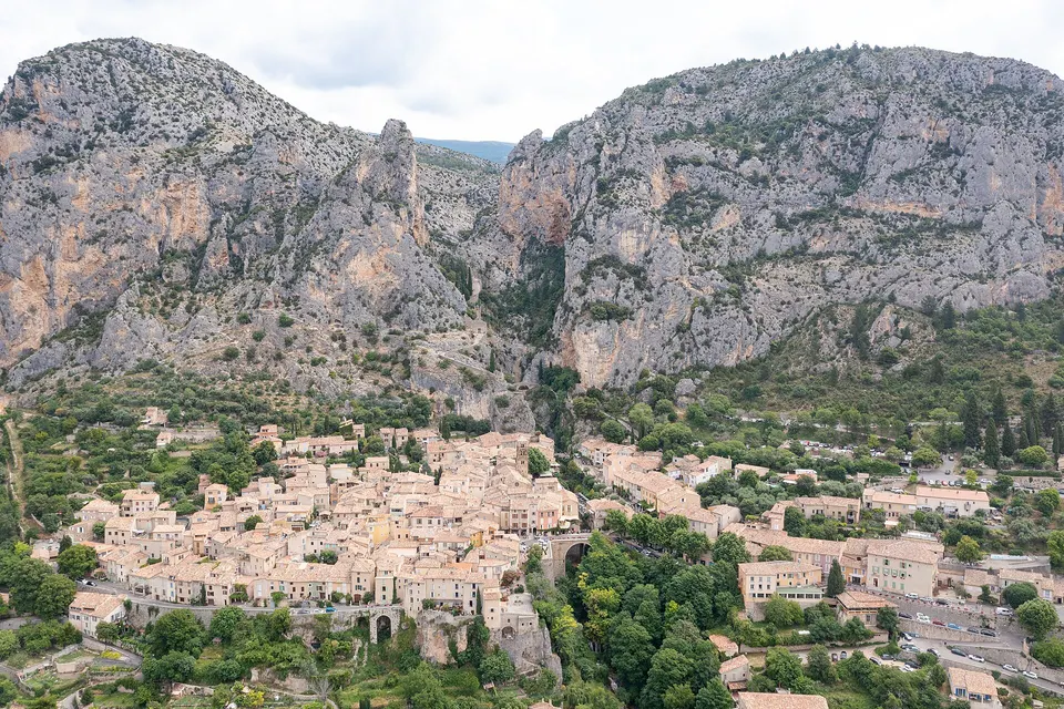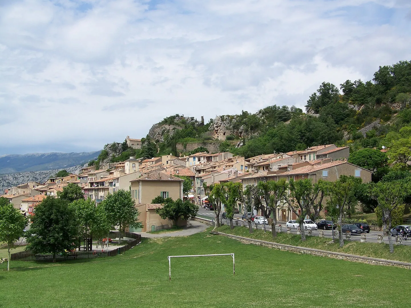
Aiguines is a village of 274 residents in the Var, perched at 817 m above the south shore of Lake Sainte-Croix, 34 km and about 40 minutes from Tourtour. It is the starting point of the south rim road of the Verdon Gorge (D71), opened in 1950, which follows the canyon to Castellane. In the village: the private château and the Saint-Jean-et-Notre-Dame church with its glazed tiles, and the woodturners' museum. Below, the lake beach and, further north, the Galetas bridge at the entrance to the gorge.
Key facts
- From Tourtour: 34 km, about 40 minutes.
- Altitude: 817 m, above Lake Sainte-Croix.
- South rim road: D71, opened in 1950, start of the gorge's cliff road.
- Château: private, not open to the public.
- Galetas bridge: 37 km from Tourtour, entrance to the gorge and boat rentals.
Aiguines at a glance
| Landmark | Value |
|---|---|
| Department | Var |
| Population | 274 residents (2023) |
| Village altitude | 817 m |
| Municipality | from 470 m (the lake) to 1,572 m |
| From Tourtour | 34 km, about 40 min |
| Galetas bridge | 37 km from Tourtour, about 41 min |
The village
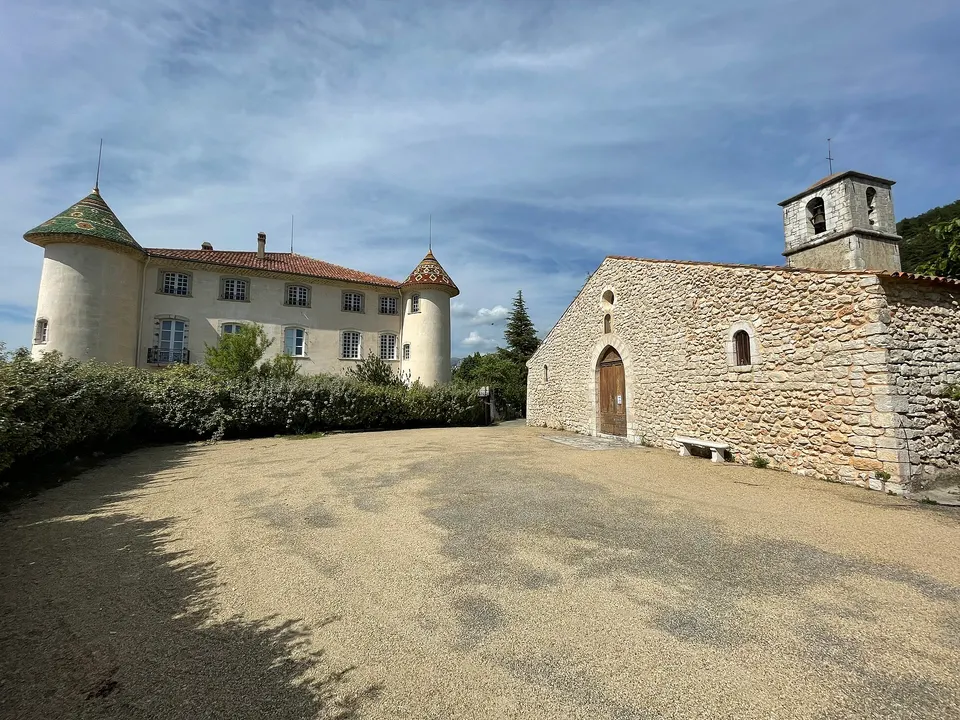
Aiguines overlooks the south shore of Lake Sainte-Croix from 817 m. Two monuments face each other:
- The Aiguines château, restored in 1606, rebuilt under Henri IV, then remodelled around 1720 to 1750, bought and restored in 1989. It is private and cannot be visited.
- The Saint-Jean-et-Notre-Dame church, decorated with glazed tiles.
The woodturners’ museum
Aiguines was once a village of woodturners. The Musée des Tourneurs sur bois opened in 1980 in the last workshop, that of Albert Rouvier, who kept the craft going until 1978.
The lake and the Galetas bridge
Below the village, 116 hectares of the municipality lie under the waters of Lake Sainte-Croix, created in 1973 and 1974. A beach lines the lake.
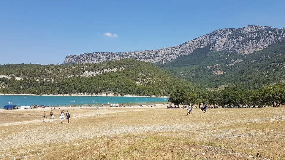
Further north, the Galetas bridge marks the entrance to the gorge. The boat rental outlets are grouped on the Aiguines side. See boat hire and kayaking in the gorge.
The south rim road
Aiguines is the starting point of the gorge’s south rim road (D71), opened in 1950 after five years of work. It follows the canyon on the Var side, with views down into the gorge, then reaches Castellane. It is the southern half of the Verdon Gorge loop.
From Tourtour
Allow 40 minutes. A typical day: a swim at the Aiguines beach in the morning, an electric boat at Galetas, then the south rim cliff road in the afternoon, or Moustiers-Sainte-Marie on the other side of the lake.
Frequently asked questions
What is there to do in Aiguines?
Wander round the hilltop village, see the château and the church with its glazed tiles, visit the woodturners' museum, go down for a swim in Lake Sainte-Croix, then take the gorge's south rim road.
Can you visit the Aiguines château?
No, the château is private and not open to the public. You can see it from the village, opposite the Saint-Jean-et-Notre-Dame church.
How far is Aiguines from Tourtour?
34 km, about 40 minutes by road. The Galetas bridge is 37 km away, about 41 minutes.
Where does the gorge road start on the Var side?
In Aiguines: the south rim road (D71), opened in 1950, follows the canyon to Castellane.
Sources
Information checked against the sources below. Opening times and dates change: confirm before you travel.
- Wikipedia (French), Aiguines (population, altitude, château, church, museum, road), accessed 7 November 2026
- Provence-Alpes-Côte d'Azur regional tourist board, Galetas bridge, accessed 7 November 2026
- Provence-Alpes-Côte d'Azur regional tourist board, Galetas beach, accessed 7 November 2026
- Travel times: OSRM routing on OpenStreetMap, from the centre of Tourtour, accessed 7 November 2026