
Independent guide · Not the village's official website
Tourtour, the village in the sky of the Haut-Var
A hilltop village at 635 m, listed among the Most Beautiful Villages of France, 35 minutes from Lake Sainte-Croix and the Verdon Gorge.
- Every fact is sourced
- Updated 9 November 2026
- Booking on GetYourGuide
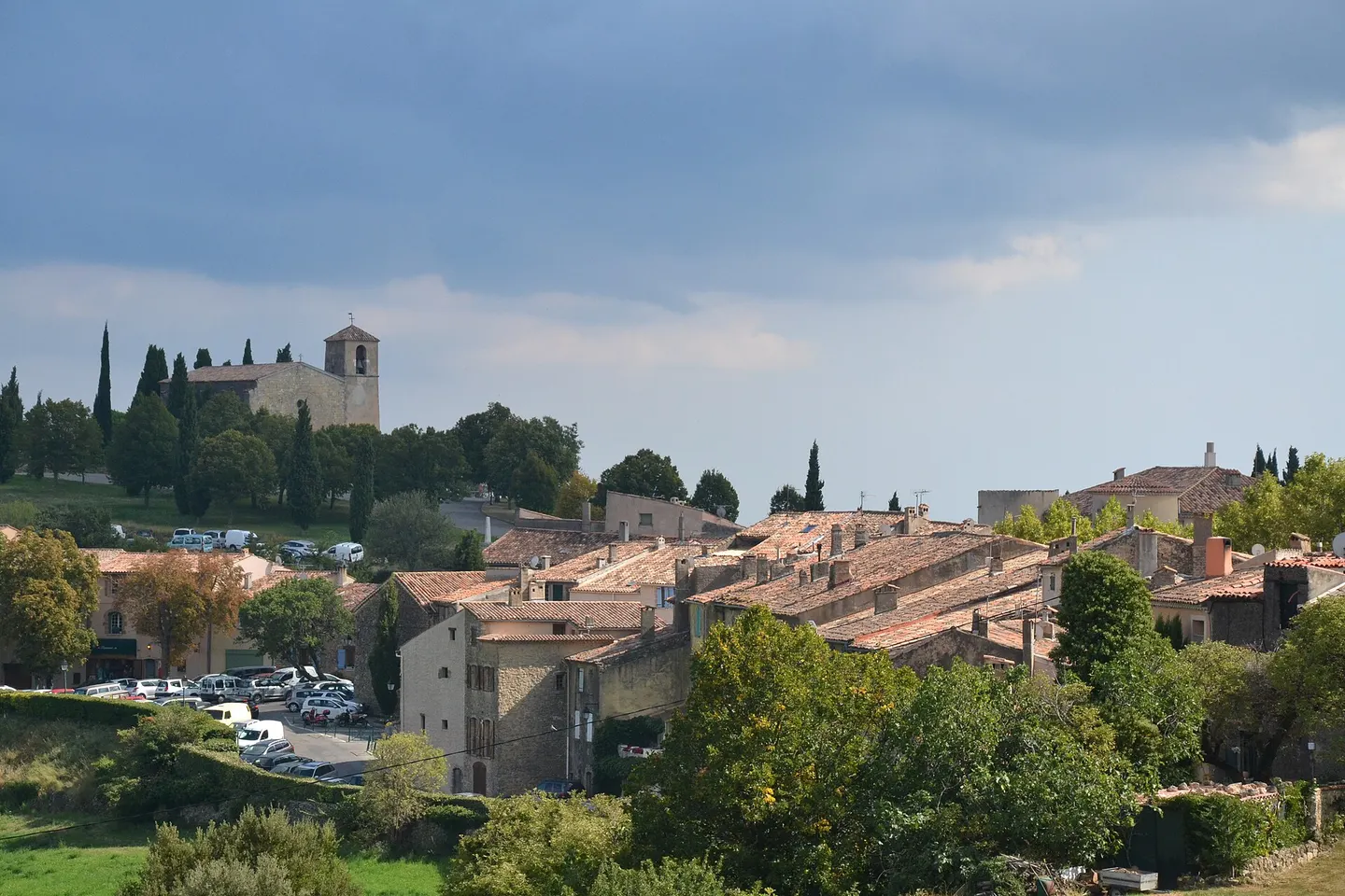
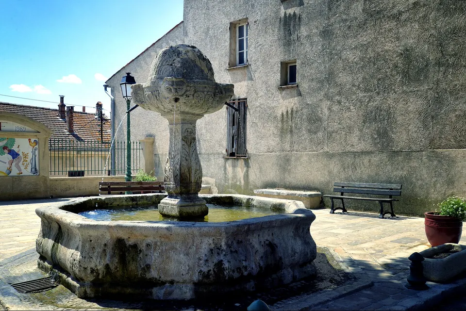
Photo: Babsy, CC BY-SA 4.0
- 635 mvillage altitude
- 581residents (2023)
- 8fountains in the village
- 35 minto Lake Sainte-Croix
Why Tourtour
The village in the sky of the Haut-Var
Tourtour is a hilltop village in the Haut-Var, at 635 m above sea level, nicknamed "the village in the sky" because it overlooks the surrounding hills from its promontory. It is one of the Most Beautiful Villages of France, has about 580 residents and can be explored on foot in half a day: Place des Ormeaux and its fountains, the olive oil mill, the fossil museum and the viewpoint indicator. It is also a good base for the Verdon Gorge and Lake Sainte-Croix.
Our picks near Tourtour
Travellers' favourites
-
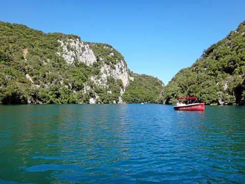 Montpezat: Canoeing rental in the Gorges du Verdon 3 to 6 hours ★ 4.7 (715) from €17
-
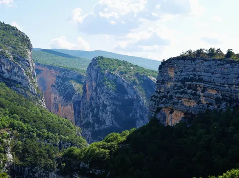 Verdon: Floating in the Grand Canyon 4 hours ★ 4.9 (28) from €72
-
 Castellane: Family-Friendly Verdon River Rafting Experience 3 hours ★ 4.8 (17) from €70
See all Verdon activities GetYourGuide affiliate links
The village
Plan your visit
Things to do
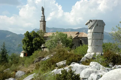
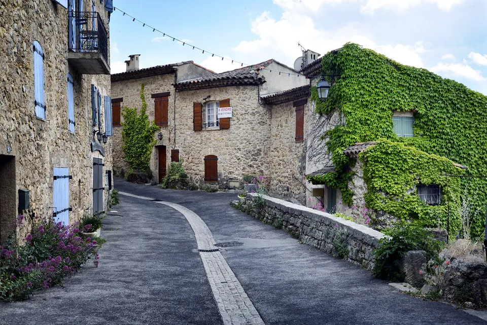
The walking tour, the olive oil mill, the fossil museum and the view from the Maures to Mont Ventoux.
Restaurants
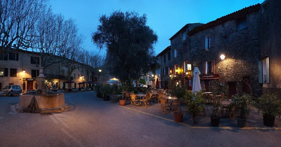
The village's 14 places to eat, from fine dining to the ice cream parlour on the square.
The market
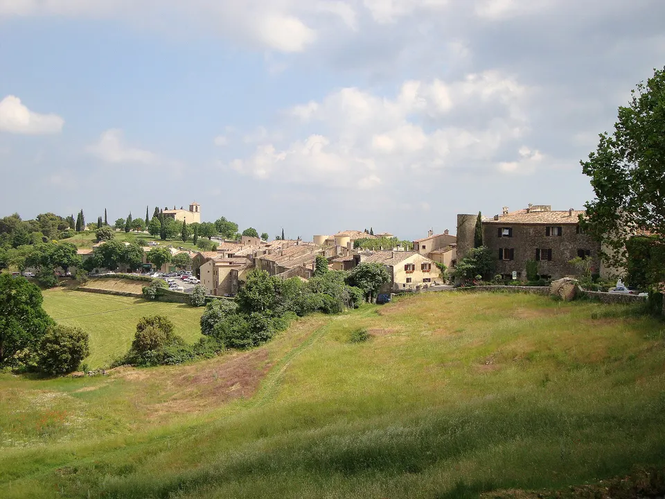
Wednesday and Saturday mornings from mid-March to mid-October, plus Friday night markets in summer.
Where to stay
A 4-star hotel, a boutique hotel, a village gîte and B&Bs.
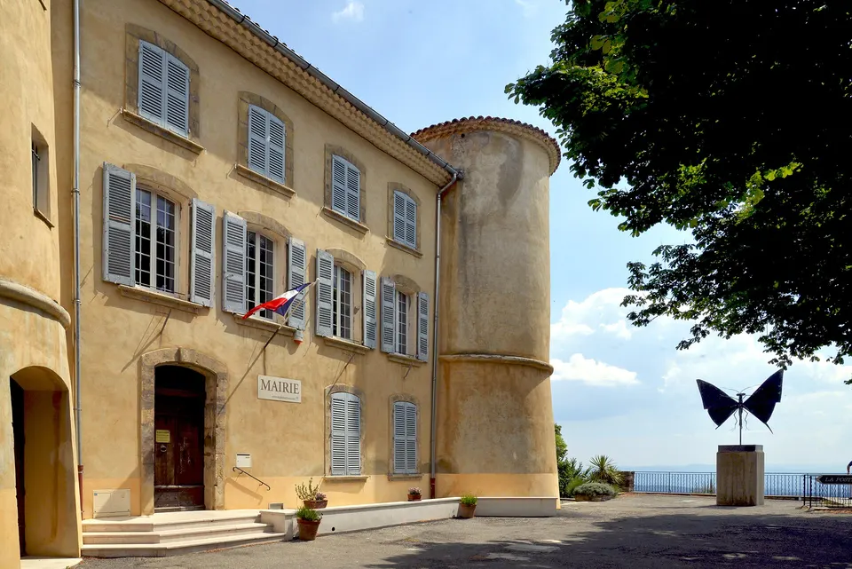
Getting to Tourtour
Car, ZOU bus, Les Arcs-Draguignan station, airports and parking.
La Bastide de Tourtour
The village's 4-star hotel: 23 rooms, a spa, an indoor pool and L'Orangeraie restaurant.
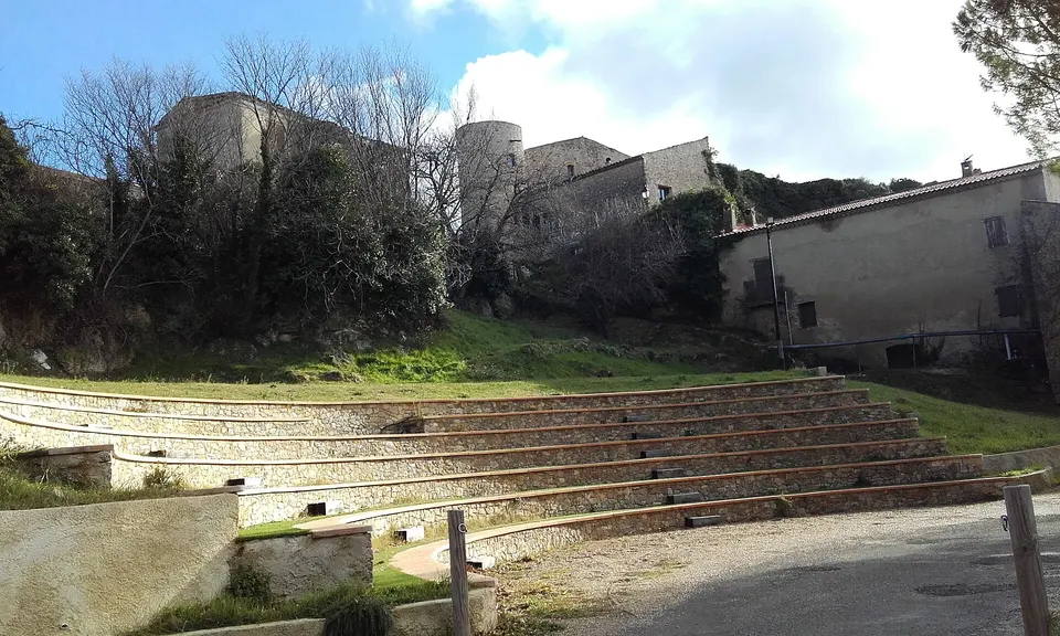
Festivals and events
The Egg Festival at Easter, summer evenings at the open-air theatre, Saint-Denis in October.
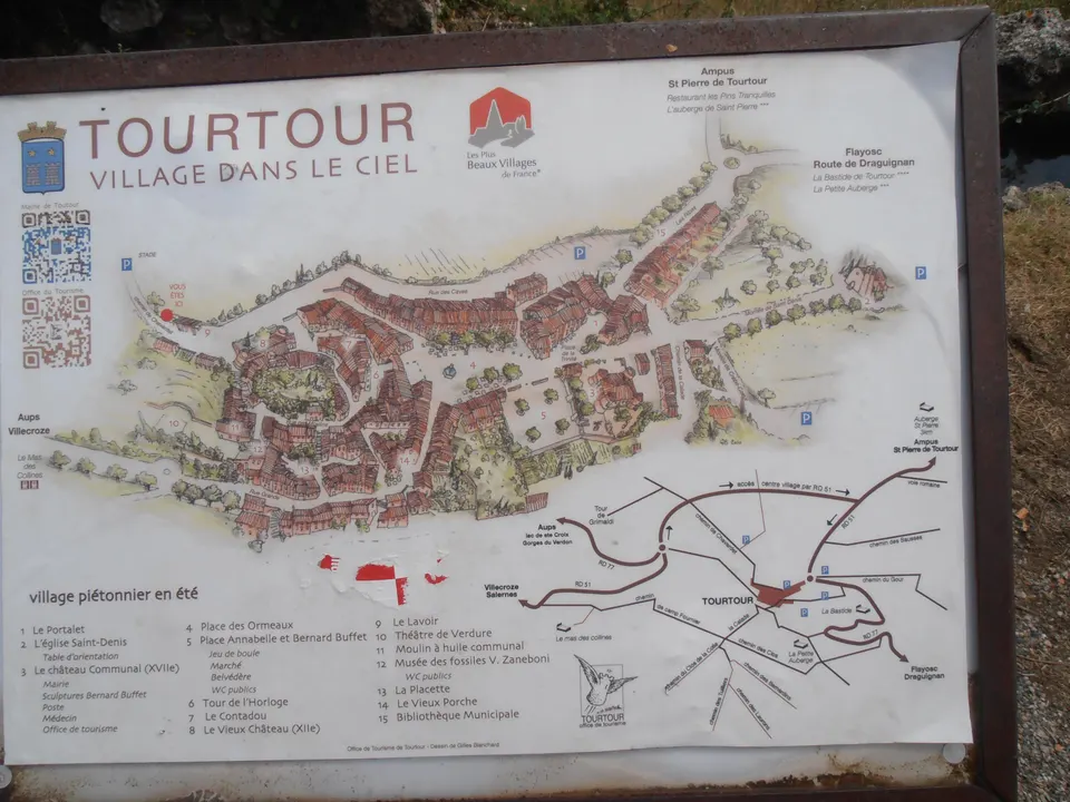
Village map
Map of the village: numbered sights, car parks, hotels and a walking route.
Tourtour in photos
The village in the sky in 20 photos: the square, the lanes, the monuments and the view.
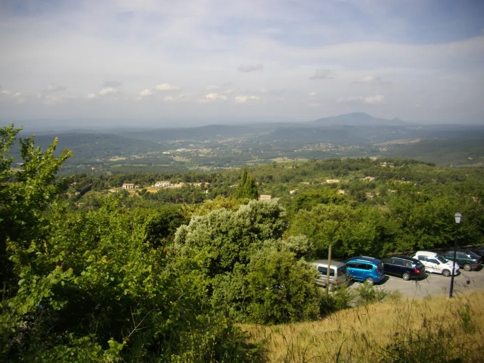
Weather and climate
Temperatures, rain, frost and snow month by month, and the best time to visit.
Gorge, lake and activities
The Verdon from Tourtour
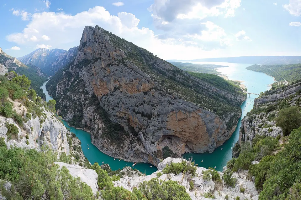
Verdon Gorge
25 km of canyon, up to 700 m deep: a one-day driving route from Tourtour.
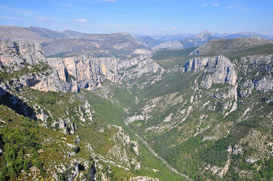
Route des Crêtes
The loop of 14 viewpoints above the canyon, from La Palud-sur-Verdon: direction, duration, winter closure.
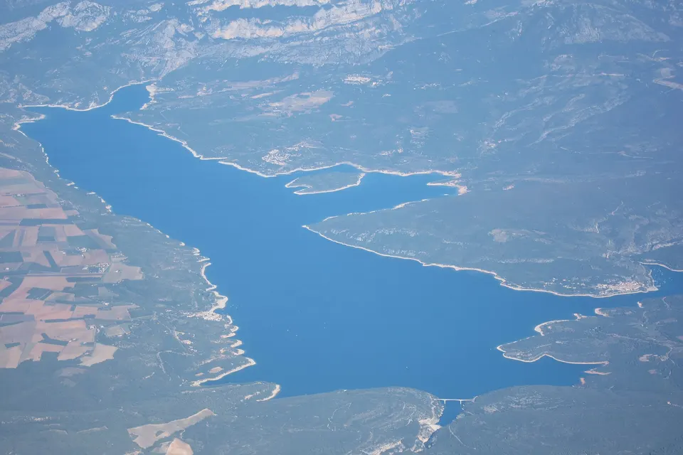
Lake Sainte-Croix
2,200 hectares of turquoise water 34 minutes from Tourtour: lifeguarded beaches, villages, electric boats.
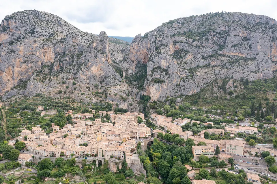
Moustiers-Sainte-Marie
The hanging star, the faience and the village at the foot of the cliffs, 50 minutes from Tourtour.
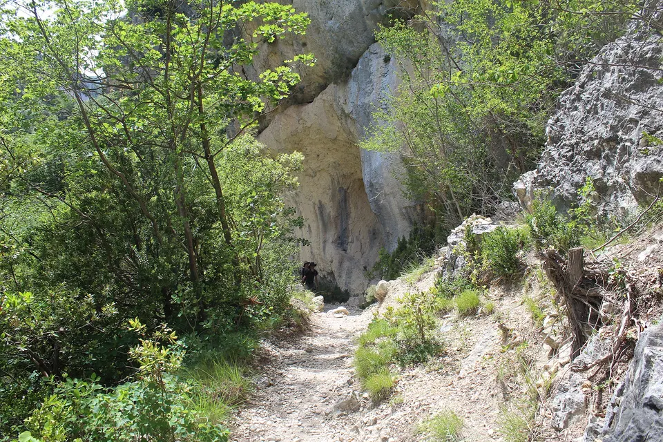
Hiking
The Blanc-Martel trail in detail (15 km, tunnels, ladders, shuttle) and gentler walks.
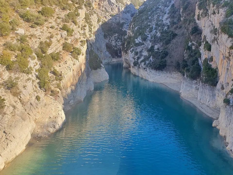
Kayak and canoe
Paddle up the canyon from the Galetas bridge, or explore the lower gorge: where, when and how long.
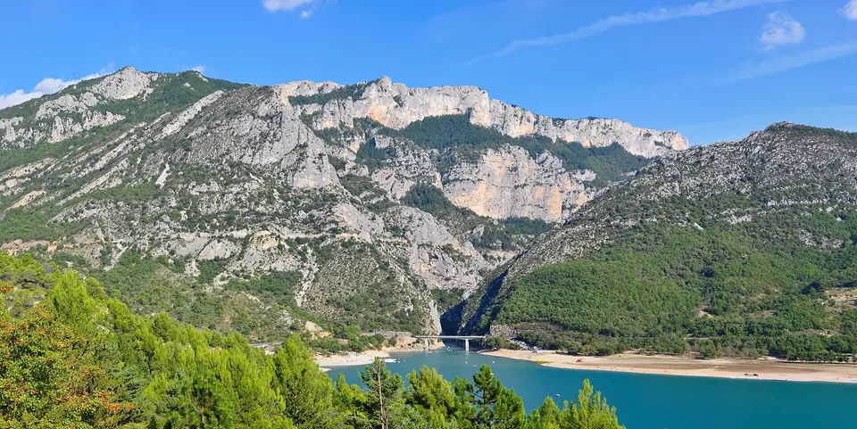
Boat hire
Licence-free electric boat, pedalo or paddleboard: where to hire on Lake Sainte-Croix and go up the gorge.
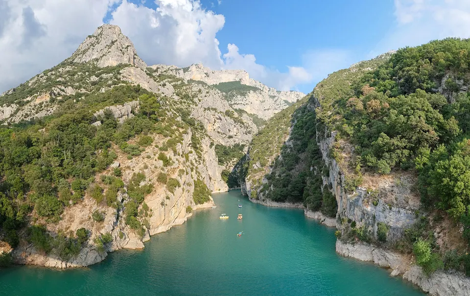
Canyoning
Jumps, natural slides and abseils in the canyons around Castellane: levels, age, swimming and choosing a guide.
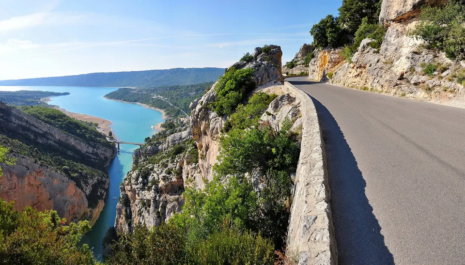
Activities in the Verdon
Every activity in the gorge and on the lake from Tourtour, with ideas for 1 day, 3 days or a family trip.
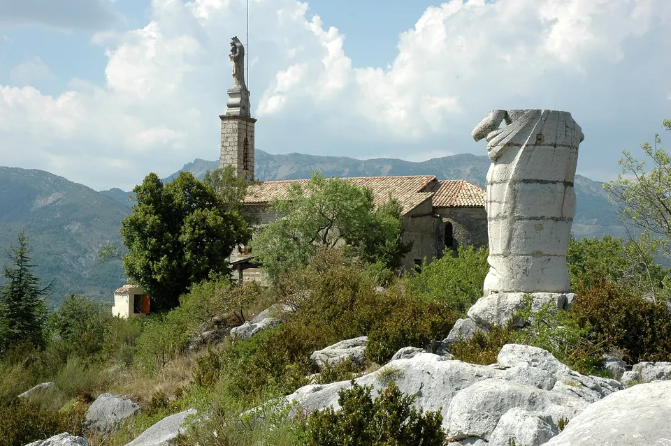
Castellane
The upstream gateway to the gorge: Notre-Dame du Roc 184 m above the village, rafting and canyoning.
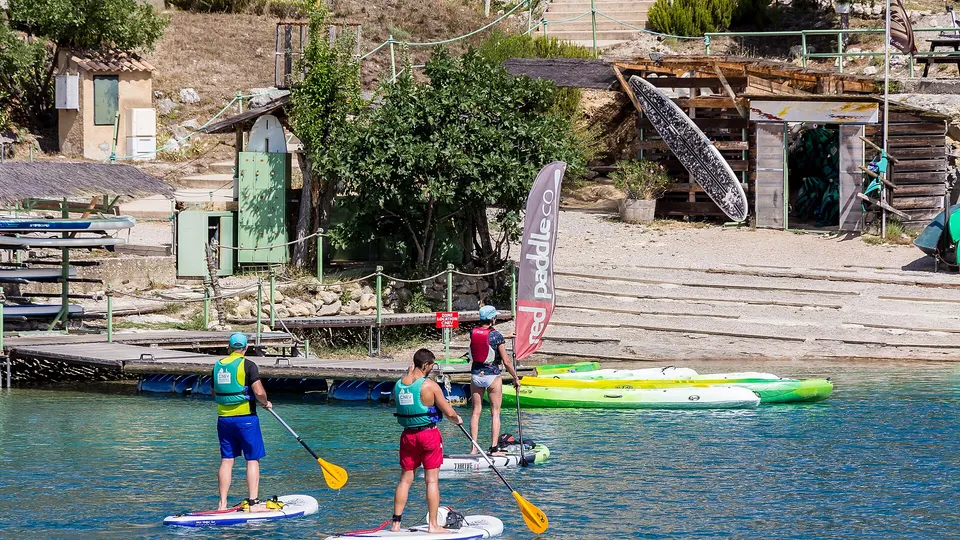
Lake Esparron
The lake where the lower gorge opens out: paddleboarding, pedalos, electric boats and a lifeguarded beach in summer.
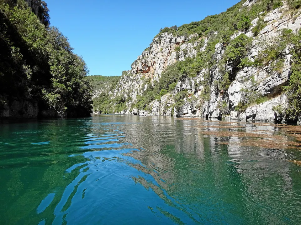
Quinson and lower gorge
The lower Verdon gorge by canoe or electric boat, and Norman Foster's Prehistory museum.
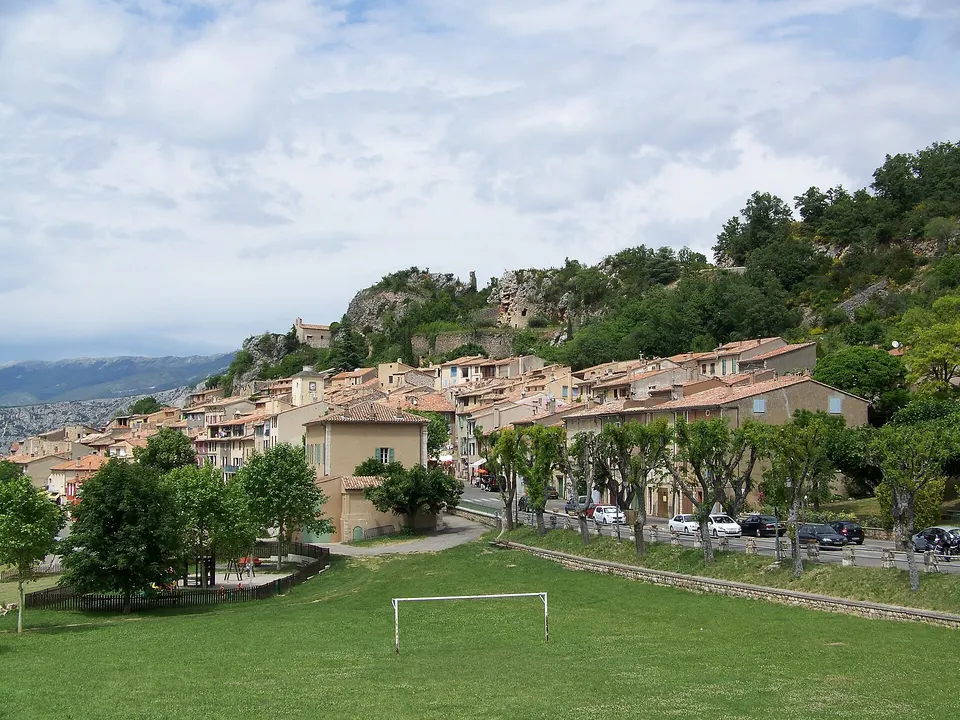
Aiguines
The hilltop village above Lake Sainte-Croix, start of the gorge's cliff road on the Var side.
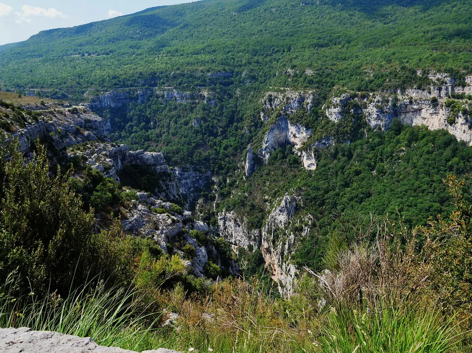
La Palud-sur-Verdon
The village perched at 928 m on the north rim, starting point of the Route des Crêtes and the big hikes.
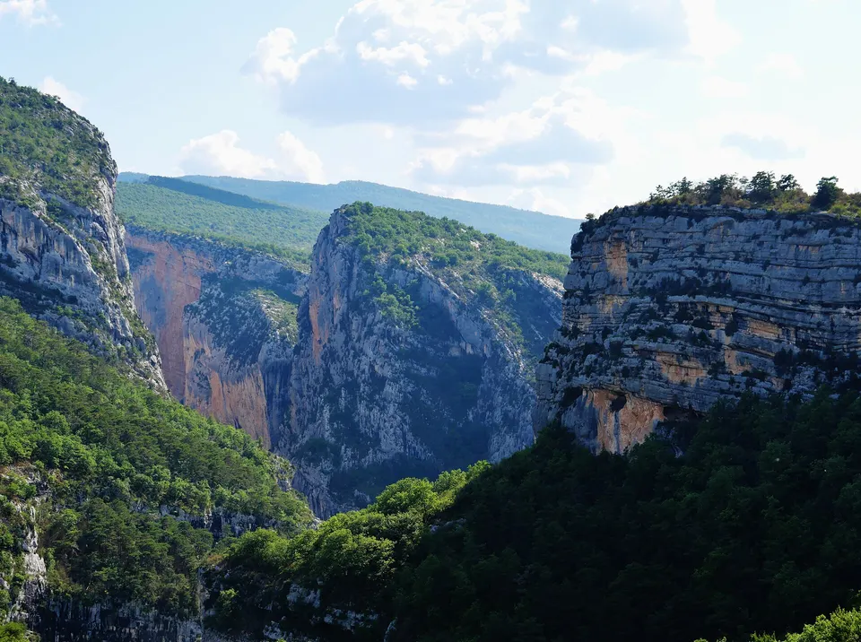
Point Sublime
The viewpoint over the entrance to the Grand Canyon, and the Couloir Samson walk to the end of the Blanc-Martel trail.
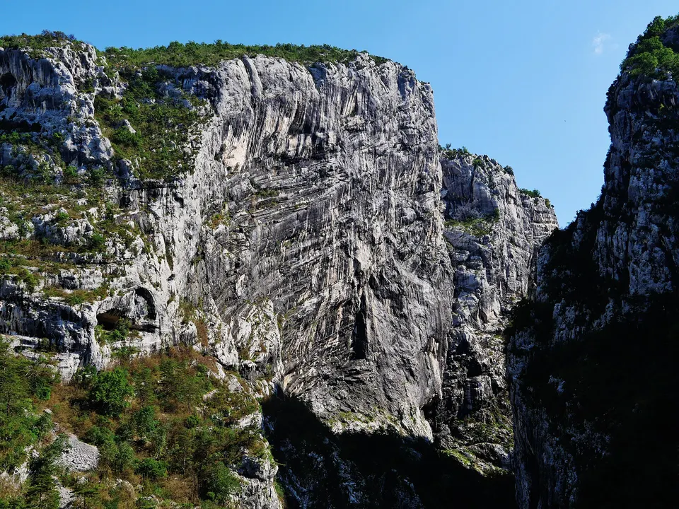
Via ferrata
The Trou du Renard via cordata and Main Morte: the gorge's cliff routes, with a guide.
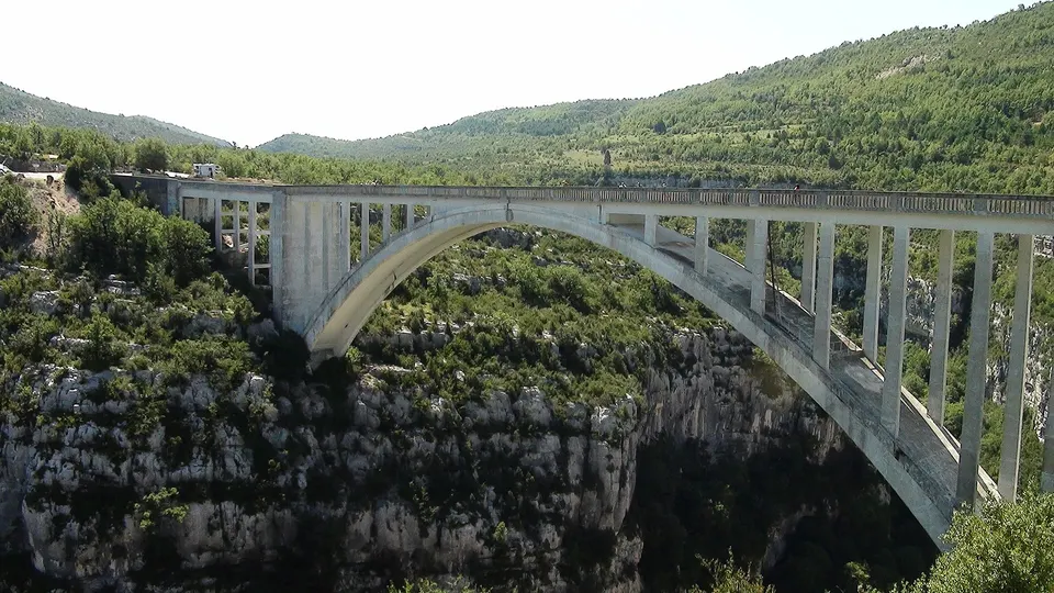
Bungee jumping
The big jump from the Artuby bridge, above the gorge: height, age, weight and price.
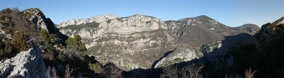
Paragliding
A tandem first flight above Lake Sainte-Croix: take-off sites, flight time and indicative prices.
Villages and sights within an hour
Around Tourtour
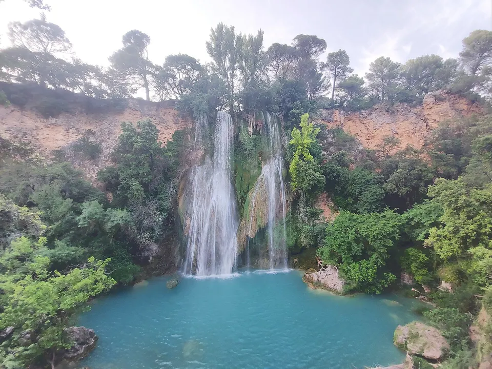
Sillans waterfall
Closed for works until spring 2027: access, swimming and what is changing.
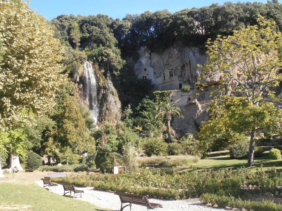
Villecroze
Fortified caves, a 35 m waterfall in a free park and an old village, 16 minutes from Tourtour.
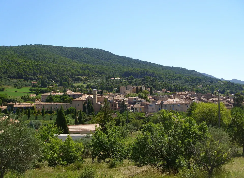
Aups
The truffle capital of the Haut-Var, its Thursday winter market, its collegiate church and museum, 18 minutes away.
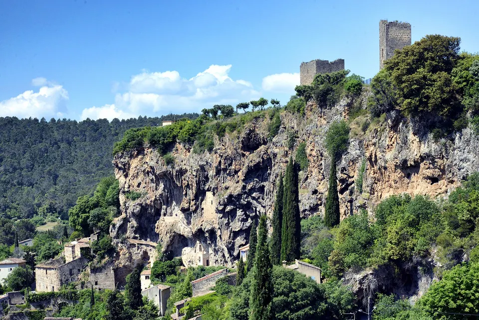
Cotignac
An 80 m troglodyte rock, two shrines and listed fountains, 35 minutes from Tourtour.
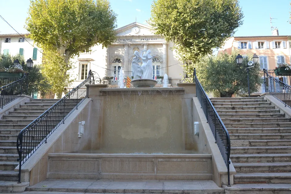
Lorgues
The small Provençal town south of Tourtour: Saint-Martin collegiate church, twenty fountains and a Tuesday market.
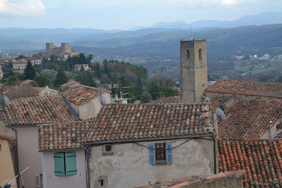
Fayence
A hilltop village in the Pays de Fayence, Europe's gliding capital, an hour from Tourtour.
Salernes
The capital of Provençal terracotta tiles, its ceramics centre and fountains, 19 minutes away.
The guide in detail
Tourtour at a glance
Tourtour is a municipality in the Var department, in the Haut-Var, part of the Lacs et Gorges du Verdon group of municipalities. It has 581 residents (2023 census) and covers 28.69 km². Its residents are called Tourtourains and Tourtouraines.
The village is built on top of a hill, at 635 m above sea level. That position is what earned it the nickname “the village in the sky”. It belongs to the Most Beautiful Villages of France association and has one star in the Michelin Green Guide.
| Landmark | Value |
|---|---|
| Department | Var (83) |
| Village altitude | 635 m |
| Population | 581 residents (2023) |
| Neighbouring villages | Aups, Villecroze, Ampus, Vérignon, Flayosc |
| Distance from Draguignan | 21 km |
| Distance from Aups | 11 km |
Why it is called “the village in the sky”
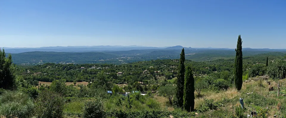
From the village promontory, the view carries a long way. The viewpoint indicator shows a panorama running from the Maures hills to Mont Ventoux, taking in the Montagne Sainte-Victoire and the Bessillons. The tourist office also recommends it for sunsets. Access is free all year round, with picnic tables nearby.
What to see in half a day
The village is best explored on foot. A full tour takes two to three hours, museums included:
- Place des Ormeaux, the heart of the village, and its fountains. Its name comes from the elm trees planted in 1638 when Anne of Austria passed through.
- The Saint-Denis church, named after the village’s patron saint.
- The clock tower and the Grimaldi tower, the village’s two towers.
- The village olive oil mill, which still presses olives in winter.
- The Victor Zaneboni fossil museum, with more than 1,000 fossils and rocks from the Haut-Var.
- The viewpoint indicator, for the view.
The detailed walk, with opening times, is on the things to do in Tourtour page.
Eating and staying in Tourtour
The town hall lists 14 places to eat, from fine dining to snack bars, most of them around Place des Ormeaux: see restaurants in Tourtour. For accommodation, options range from a 4-star hotel to village gîtes and B&Bs: see where to stay in Tourtour.
The market and festivals
The Provençal market takes place on Wednesday and Saturday mornings, from mid-March to mid-October. Summer adds night markets on Friday evenings. Details are on the Tourtour market page.
The festival calendar follows events that come back every year: the Egg Festival at Easter, summer evenings at the open-air theatre, and the Saint-Denis festival in October. See festivals and events in Tourtour.
Around Tourtour
Tourtour is well placed for exploring the Haut-Var. Approximate driving times, excluding traffic:
| Destination | Distance | Time |
|---|---|---|
| Villecroze | 10 km | 16 min |
| Aups | 11 km | 18 min |
| Salernes | 12 km | 19 min |
| Sillans-la-Cascade | 18 km | 26 min |
| Bauduen, Lake Sainte-Croix | 29 km | 34 min |
| Moustiers-Sainte-Marie | 45 km | 50 min |
The Sillans waterfall is closed for works until spring 2027: check before you go.
Getting to Tourtour
The village is reached by car from Draguignan (21 km), Les Arcs-Draguignan station (31 km) or the airports of Nice (about 100 km) and Marseille (about 140 km). ZOU regional bus lines serve Tourtour from Aups and Lorgues. Full details, parking included: getting to Tourtour.
Frequently asked questions
What is there to see in Tourtour?
Place des Ormeaux and its fountains, the Saint-Denis church, the clock tower and the Grimaldi tower, the village olive oil mill, the Victor Zaneboni fossil museum and the viewpoint indicator. Details are on the things to do in Tourtour page.
How high is Tourtour?
The village stands at 635 m above sea level. The municipality ranges from 375 m at its lowest point to 904 m at its highest.
Why is Tourtour called the village in the sky?
Because it is built on top of a hill overlooking the Haut-Var. On a clear day, the view stretches from the Maures hills to Mont Ventoux.
Is Tourtour one of the Most Beautiful Villages of France?
Yes, Tourtour is a member of the Les Plus Beaux Villages de France association.
Where and when is the Tourtour market?
On Wednesday and Saturday from 8 am to 1 pm, from 15 March to 15 October, on the Jardin Annabel et Bernard Buffet square (the boules ground). See the Tourtour market page.
Sources
- Les Plus Beaux Villages de France, Tourtour page, accessed 6 November 2026
- Wikipedia (French), Tourtour article (INSEE 2023 population, altitudes, distances), accessed 6 November 2026
- Lacs et Gorges du Verdon tourist office, Tourtour Provençal market, accessed 6 November 2026
- Tourtour town hall, accessed 6 November 2026
- Travel times: OSRM routing on OpenStreetMap, accessed 6 November 2026