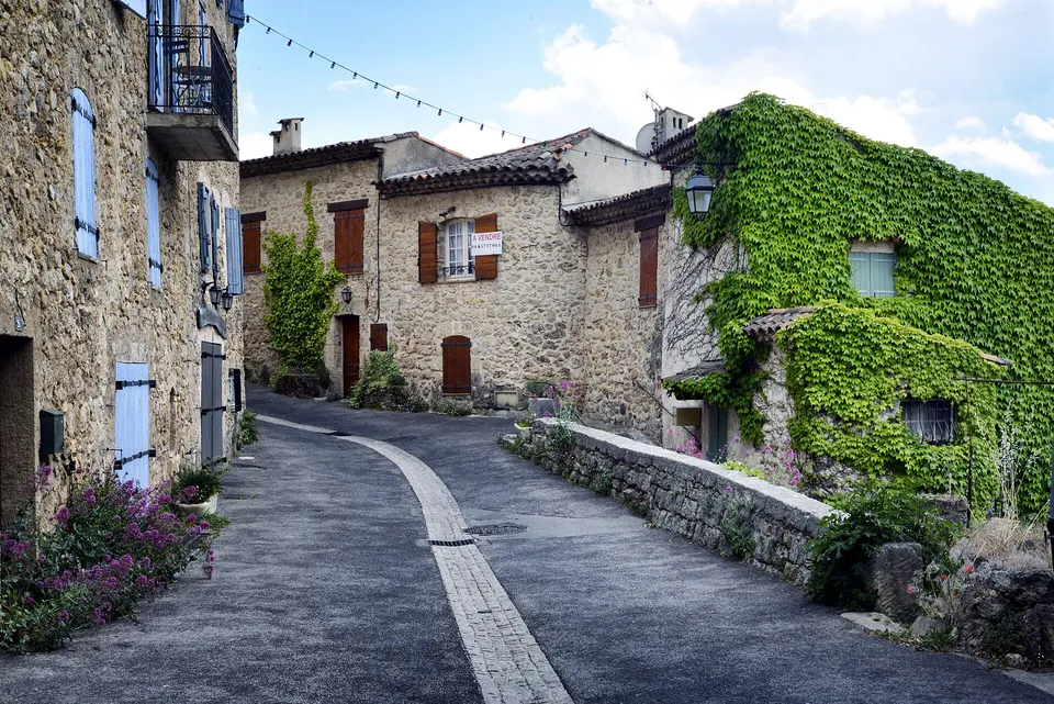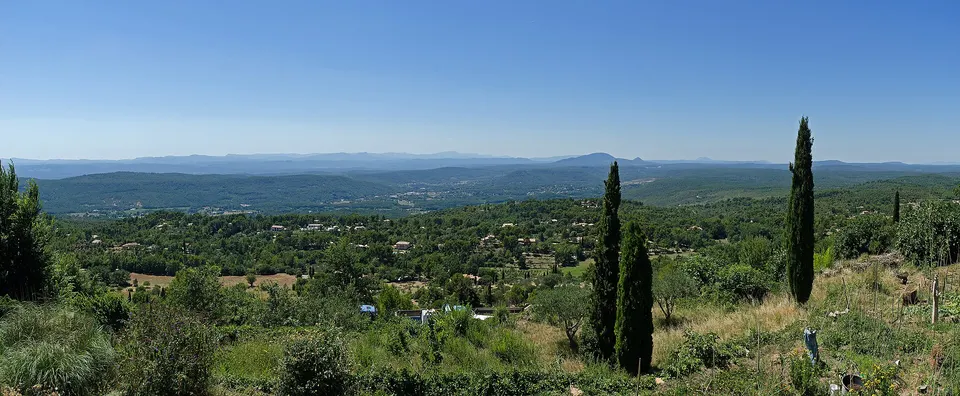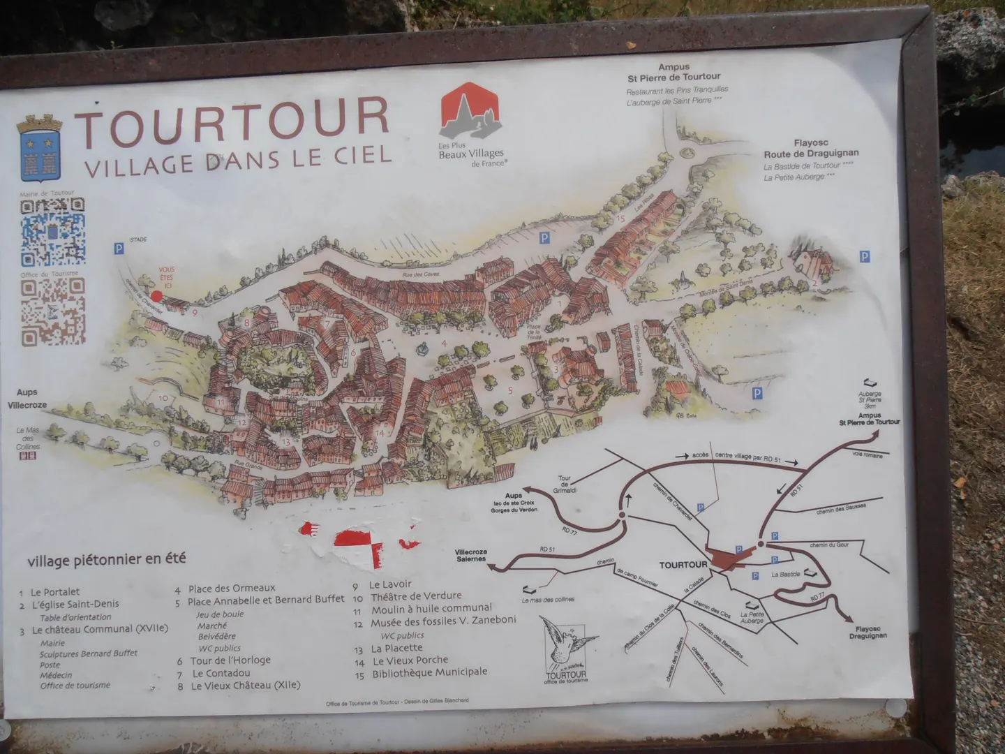
The old village of Tourtour stretches for about 250 m, between the old castle to the west and the church of Saint-Denis to the east. Place des Ormeaux is its heart. Park in the car parks on the edge of the village (by the church, Rue des Caves, at the Sainte-Anne roundabout), then do everything on foot. The map below numbers the 12 useful markers, from the wash house to the viewpoint table, plus the two nearest hotels.
Key facts
- Old village: about 250 m from west to east, all on foot.
- Parking: by the church, Rue des Caves, at the Sainte-Anne roundabout (about 20 spaces).
- Starting point: Place des Ormeaux (marker 1).
- Panorama: the viewpoint table (marker 10), next to the church.
- Off the map: the Grimaldi tower, 1.4 km north-west as the crow flies.
The village map
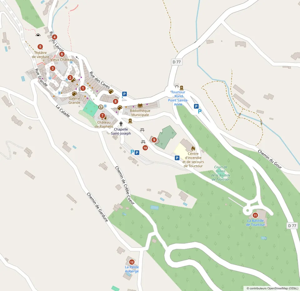
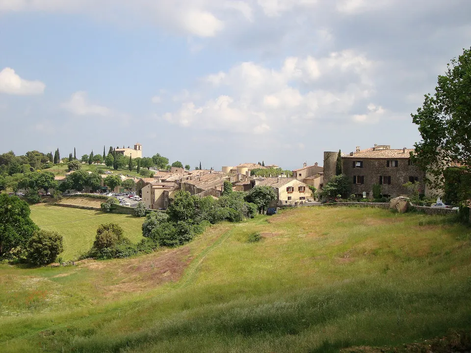
The village sits on a ridge running north-west to south-east. Its two high points are the old castle to the west and the church of Saint-Denis to the east. Between them, the lanes of the old village run down to Place des Ormeaux. The D77 road goes round the village to the north and east.
The numbered markers
| No. | Marker | What you’ll find |
|---|---|---|
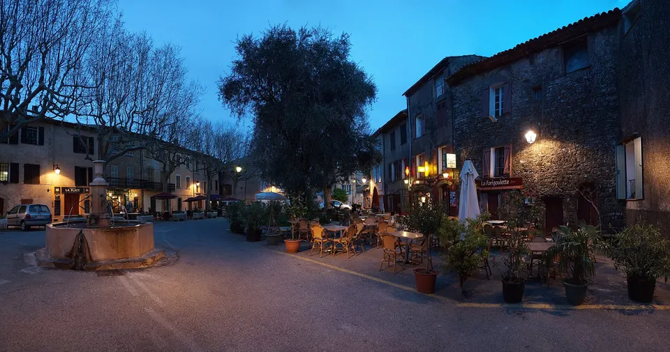
| 1 | Place des Ormeaux | The heart of the village: fountains, terraces, restaurants |
| 2 | Clock tower | Village tower, bell from 1665 |
| 3 | Rue des Moulins | Village oil mill (no. 10) and fossil museum (no. 12) |
| 4 | Wash house | Wash house from 1778, Rue du Lavoir |
| 5 | Open-air theatre | Outdoor stage, north-west of the village |
| 6 | Old castle | Medieval castle, the village’s western high point |
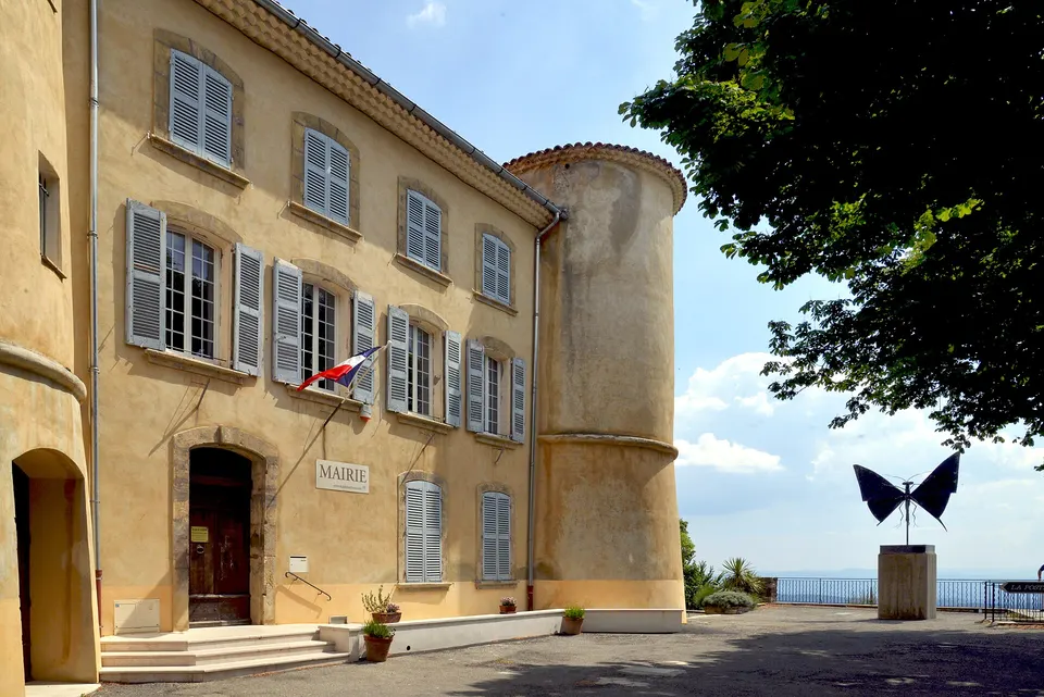
| 7 | Town hall, Château Raphélis | Village château, Bernard Buffet sculptures in front |
| 8 | Sainte-Trinité chapel | Tourist information office, 2 Place de la Trinité |
| 9 | Church of Saint-Denis | Church of the patron saint, eastern high point |
| 10 | Viewpoint table | Panorama from the Maures to Mont Ventoux, picnic tables |
| 11 | La Bastide de Tourtour | 4-star hotel and spa, Flayosc road |
| 12 | La Petite Auberge | Boutique hotel and restaurant, Chemin de la Gardure |
Each sight is described in things to do in Tourtour, the hotels in where to stay in Tourtour and La Bastide de Tourtour.
Where to park
The old village is visited on foot, and traffic is restricted for part of the year. The car parks (blue P on the map) are on the edge:
| Car park | Location | Closest to |
|---|---|---|
| Church car park | South-east of the village | Church, viewpoint table |
| Sainte-Anne roundabout car park | East, on the D77, about 20 spaces | Centre, Sainte-Trinité chapel |
| Rue des Caves car park | North-east of the centre | Place des Ormeaux |
| Car park south of the town hall | Between the town hall and the church | Viewpoint table |
In July, August and on market mornings (Wednesday and Saturday), the closest spaces go fast: arrive early. Routes from Draguignan, Nice or Aix are in getting to Tourtour.
A walking route
A simple loop from the church car park, under 1.5 km:
- Viewpoint table (10) and church of Saint-Denis (9), to start with the view.
- Down to the town hall (7) and the Sainte-Trinité chapel (8), where you can pick up a paper map.
- Place des Ormeaux (1), then the clock tower (2).
- Rue des Moulins (3): the oil mill and the fossil museum.
- Up to the old castle (6), then the open-air theatre (5) and the wash house (4).
- Back via Rue Grande or Rue des Caves.
The streets are steep and often cobbled: wear good shoes.
Off the map
- The Grimaldi tower (or Grimaud tower): a ruin about 1.4 km north-west of the village as the crow flies, with a viewpoint. The tourist office suggests the walk.
- The market is held on Place du Jardin Annabel et Bernard Buffet: see Tourtour market.
For GPS coordinates or live directions, the interactive map is on OpenStreetMap.
Frequently asked questions
Where to park in Tourtour?
In the car parks on the edge of the old village: by the church to the south-east, Rue des Caves, and at the Sainte-Anne roundabout (about 20 spaces, according to OpenStreetMap). The centre is visited on foot, and traffic is restricted for part of the year.
How long does it take to walk around the village?
The route through the 10 markers in the centre is under 1.5 km. Allow an hour at a gentle pace, half a day with the fossil museum, the oil mill and the galleries.
Where is the viewpoint table in Tourtour?
East of the village, right next to the church of Saint-Denis (marker 10 on the map), a few minutes' walk from Place des Ormeaux.
Where can I get a paper map?
At the tourist information office, 2 Place de la Trinité (marker 8). A large illustrated map is also displayed at the entrance to the village.
Sources
Information checked against the sources below. Opening times and dates change: confirm before you travel.
- OpenStreetMap, Tourtour village data (locations, car parks), accessed 9 November 2026
- Tourtour town hall, tourist office (address, hours), accessed 9 November 2026
- Regional tourism board, Oil mill listing, accessed 6 November 2026
- Lacs et Gorges du Verdon tourist office, viewpoint table, accessed 6 November 2026
- Wikipedia (French), Tourtour article (old castle, church), accessed 9 November 2026