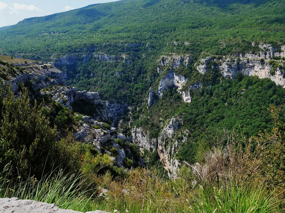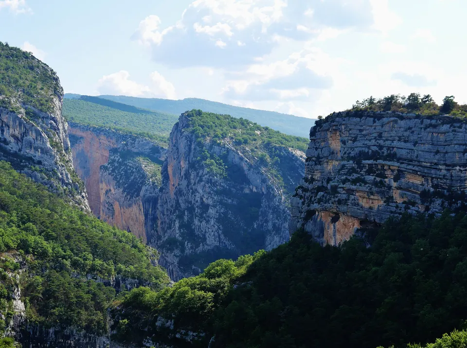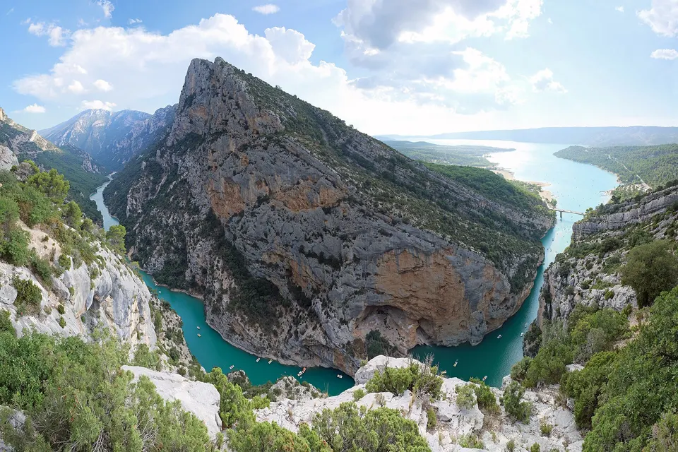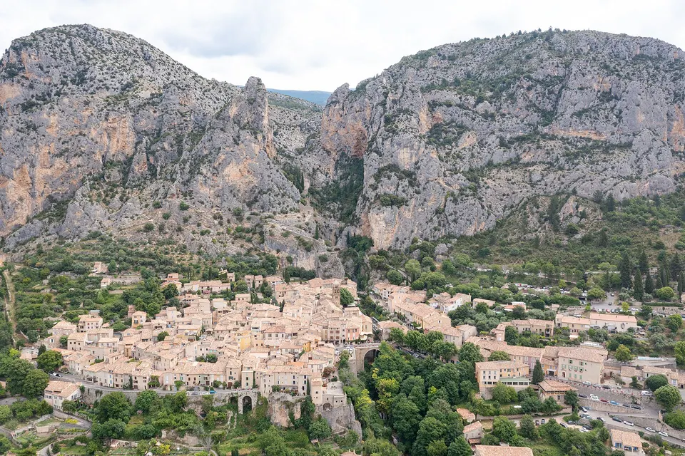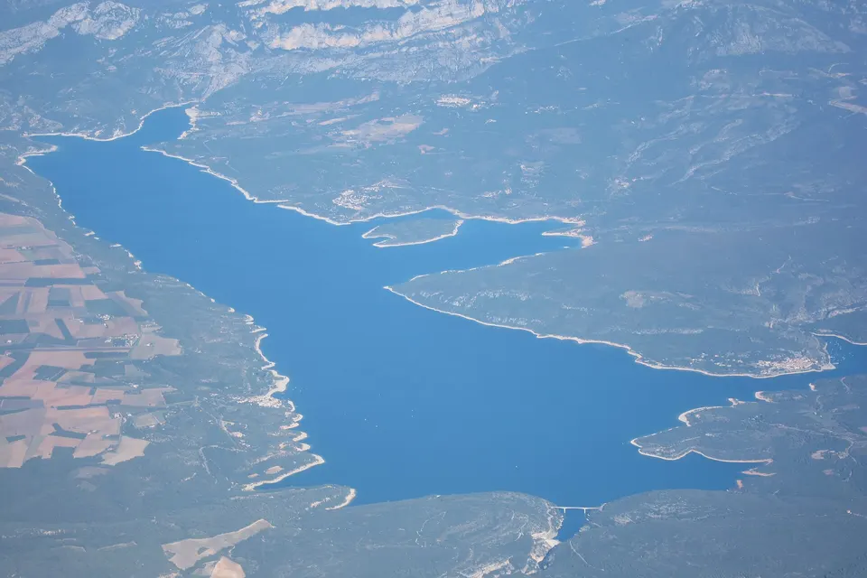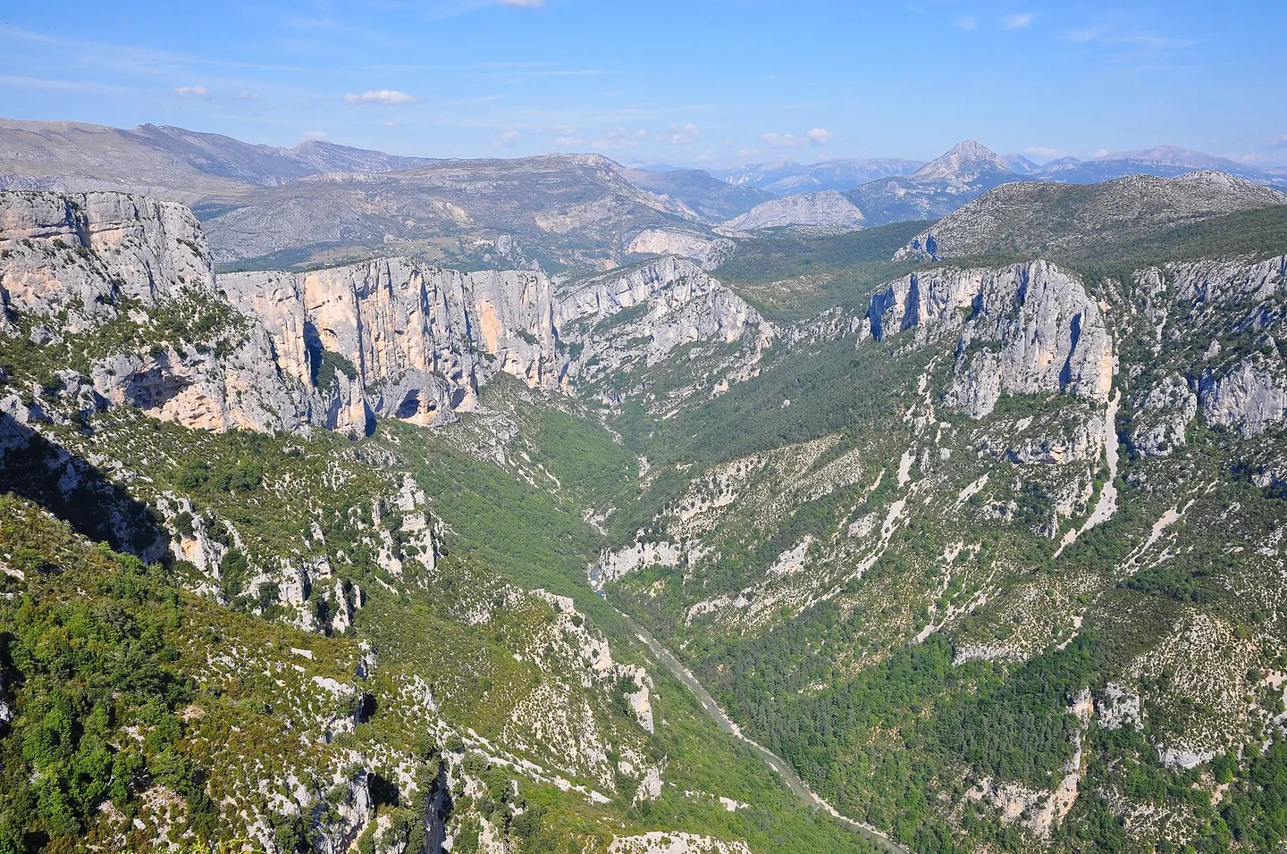
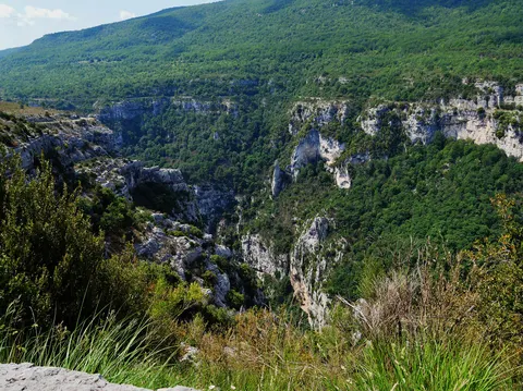
The Route des Crêtes (D23) is a loop of about 22 to 24 km from La Palud-sur-Verdon, which follows the north rim of the canyon and lines up 14 viewpoints above cliffs more than 700 m high. It is driven clockwise: the section between Jas d'Aire and the Chalet de la Maline is one-way. The central section closes every winter, from late November to late March. Allow 1 h 30 to 3 hours with stops, and 1 h 05 by road from Tourtour to reach La Palud.
Key facts
- Start: D23, 800 m from La Palud-sur-Verdon, towards Rougon.
- Direction: clockwise, one-way between Jas d'Aire and La Maline.
- Duration: 1 h 30 to 3 h depending on stops.
- Winter: central section closed, 22 November 2026 to 26 March 2027 according to the official listing.
- Vehicle height: limited to 3.6 m at the sides and 4.3 m in the centre of the tunnels.
The route at a glance
| Landmark | Detail |
|---|---|
| Road | D23, loop from La Palud-sur-Verdon |
| Length | 22 km according to the official listing, 24 km according to its description |
| Viewpoints | 14 |
| Altitude | from 743 m to 1,323 m |
| Duration | 1 h 30 to 3 h with stops |
| Direction | clockwise, one-way between Jas d’Aire and La Maline |
| Closure | central section closed in winter |
| From Tourtour | 59 km to La Palud, about 1 h 05 |
Start and driving direction
The route leaves the D23, 800 m out of La Palud-sur-Verdon towards Rougon. It is driven clockwise, as signposted: the section between Jas d’Aire and the Chalet de la Maline is one-way. If you want to do the full loop, take it in this direction from the start.
The viewpoints
The official listing counts 14. Among the best known, in loop order:
- Trescaïre (lower and upper);
- La Carelle;
- L’Escalès;
- the Dent d’Aire;
- Les Glacières and L’Imbut;
- the Pas de Baou;
- the Chalet de la Maline, the start of the Blanc-Martel trail.
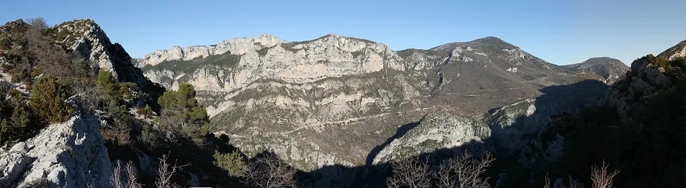
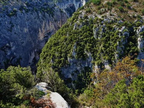
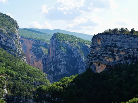
The cliffs drop more than 700 m: stay behind the railings, especially with children.
Winter closure
Only the central section, from the Pas de Baou viewpoint to the Chalet de la Maline, closes in winter. The regional tourist board’s listing gives a closure from 22 November 2026 to 26 March 2027; its description mentions the 4th Friday of November to the 4th Friday of March. The rest of the route (Trescaïre, La Carelle, the Dent d’Aire, La Maline from the other side) stays open all year.
What you will see
Beyond the canyon, the road is a good wildlife lookout: vultures, chamois and foxes are regularly spotted according to the official listing.
Fitting it into the day
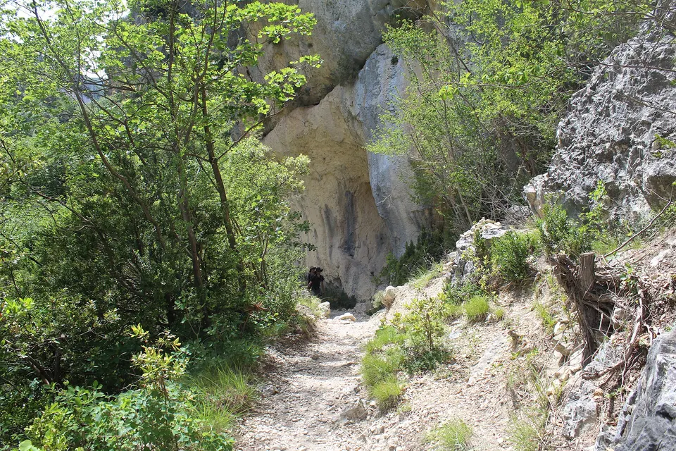
The Route des Crêtes fits into the Verdon Gorge driving loop. Walkers can leave the car at the Chalet de la Maline to go down the Blanc-Martel trail. On the way back, go via Moustiers-Sainte-Marie, north of Lake Sainte-Croix.
Practical tips
- Vehicle height: limited to 3.6 m at the sides and 4.3 m in the centre. Coaches can pass, with a driver used to mountain roads.
- Pets: allowed on the road and at the viewpoints.
Book an activity
Outings along the Route des Crêtes
 Verdon Gorge: Vulture watching1.5 hours★ 5.0 (3 reviews)from €30Check availability
 Verdon Gorge: multi-pitch rock climbing4 hoursfrom €350Check availability
 Verdon: Floating in the Grand Canyon4 hours★ 4.9 (28 reviews)from €72Check availability
All activities on GetYourGuide
"From" prices checked on 8 November 2026 and may have changed.
Affiliate links: Tourtour.org earns a commission if you book, at no extra cost to you. "Show live prices" loads the GetYourGuide module, which sets its own cookies (learn more (in French)).
Frequently asked questions
Which direction should you drive the Route des Crêtes?
Clockwise, as signposted: the section between Jas d'Aire and the Chalet de la Maline is one-way.
How long does the Route des Crêtes take?
Between 1 h 30 and 3 hours, depending on how many viewpoints you stop at. The loop is about 22 to 24 km depending on the source.
Is the Route des Crêtes open in winter?
The central section, from the Pas de Baou viewpoint to the Chalet de la Maline, closes every winter. The official listing gives a closure from 22 November 2026 to 26 March 2027. The rest of the route stays open all year.
How many viewpoints are there on the Route des Crêtes?
14 according to the regional tourist board, including Trescaïre, La Carelle, L'Escalès, the Dent d'Aire, L'Imbut, the Pas de Baou and the Chalet de la Maline.
Can you drive the Route des Crêtes in a motorhome?
Height is limited to 3.6 m at the sides and 4.3 m in the centre of the tunnels. Check your vehicle's dimensions; the road is narrow and winding.
Sources
Information checked against the sources below. Opening times and dates change: confirm before you travel.
- Provence-Alpes-Côte d'Azur regional tourist board, the Route des Crêtes (La Palud-sur-Verdon), accessed 7 November 2026
- Wikipedia (French), Gorges du Verdon, accessed 7 November 2026
- Travel times: OSRM routing on OpenStreetMap, from the centre of Tourtour, accessed 7 November 2026